

Boundary and Control Surveys
82 Bravo is Registered with the Arizona State Board of Technical Registration to provide Land Surveying services and Arizona Boundary Surveys. A Registered Professional Land Surveyor will oversee all aspects of the survey to ensure that the project meets or exceeds the minimum standards as set forth by the State.
- ALTA/ACSM Land Title Surveys - Min. Standard Detail
- Minor Land Divisions and Lot Splits
- Arizona Boundary Survey Min. Standards
- Subdivision Plats and Lot Combination
- New Right-of-Way and Easements
- Property Descriptions
- Parcel Exhibits
- Elevation Certificates
AZBTR Firm No. 17600-0
Mapping/Topographic Surveys
A topographic survey shows natural ground elevations, man made features, visible utilities, walls and fences, trees and any other relevant features.
82B will provide topographic and planimetric mapping through conventional means or in conjunction with photogrammetric mapping or LiDAR to show both natural and man-made features. Various methods of data collection can be combined to meet the needs of our clients.
- Elevation Certificates
- Grading and Drainage Surveys
- Site Plan Surveys
- As-Built Survey
- Stock Piles
- Transmission Lines
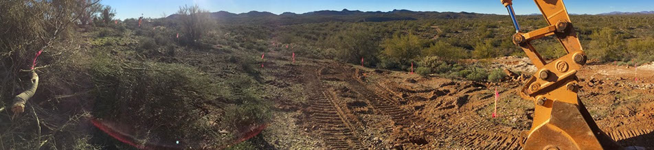
Construction Survey
82B will provide full construction survey services including:
- As-Built Drawings
- Bluetops
- Building Pad Certifications
- Building Stakes
- Construction Limits
- CAD Drawings
- Curb Staking
- Dry Utilities
- Finish Floor Certificates
- Paving
- Retention
- Rough Grade
- Setback Stakes
- Storm and Sewer
- SWPP Plan Stakes
- Storm and Sewer
- Subgrade
- Wet Utilities
GPS/GNSS
82B uses Global Positioning System (GPS) and Global Navigation Satellite System (GNSS) technology for static control networks and real time kinematic (RTK) mapping solutions.
- Static Surveys
- Control Surveys
- Horizontal Control
- Vertical Control
Survey Courses and Lecture NAICS-611430
82 Bravo offers specialized and technical training courses and lecture for surveying and mapping operations including equipment and software instruction.
Our professional instructors have decades of surveying and mapping experience both in the field and office. Each course is based on surveying and mapping fundamentals and real-world applications.
Our training programs offer professional curriculum, training guides, evaluations and certificates of completion for each student. All training material is provided in an Eco-friendly digital format that is user friendly and search-able. Courses are customized for the student and the environment that they work in. Work-flows are developed during the course for specific work related tasks and provided at the end of the course.
Courses can be customized for your needs and requirements.
- Survey Software Training
- Surveying and Mapping Procedure and Planning
- Topcon Product Training
© 2016 82 Bravo, LLC. All Rights Reserved